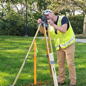
Land Survey
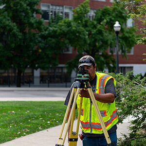
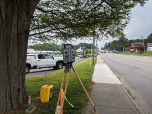
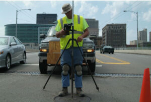
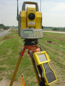
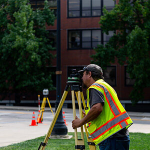
Using Windows Mobile data collectors, conventional, servo and robotic instruments, geodetic GPS receivers (including real-time Kinematic surveying), our crews are equipped with the knowledge and the tools for every kind of horizontal and vertical land survey need.

ALTA Surveys
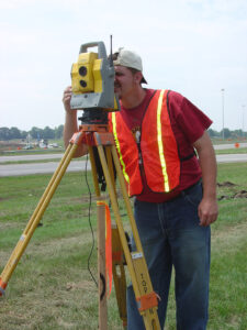
Boundary Surveys
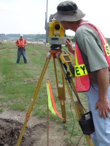
ALTA/NSPS Land Title Surveys
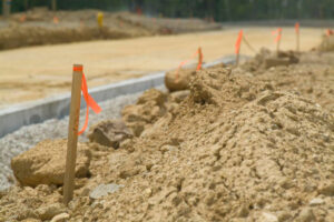
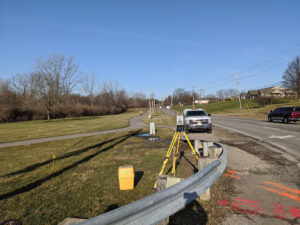
Construction Staking
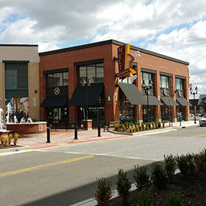
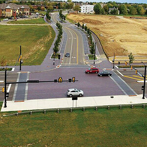
Easton Gateway, Columbus, OH
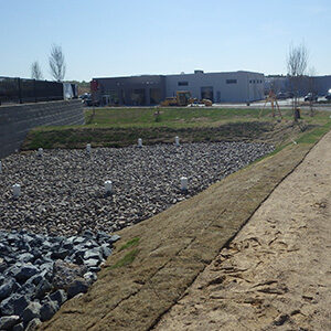
Hendrick Concord Automall, Concord, NC
Technology
- Windows Mobile-based Data Collectors
- Advanced Trimble Robotic Total Stations
- Trimble GPS—GNSS Receivers
- Trimble Real-time Kinematic GNSS Receivers
- Trimble GeoXH and GeoXT Handheld Mapping Grade Receivers
- Trimble SX12 3D scanning Total Station
- Bathymetric/Sonar Equipment
Certifications
- Registered Professional Land Surveyors Certified in Multiple States
- ODOT Prequalification Right of Way (ROW) Plan Development
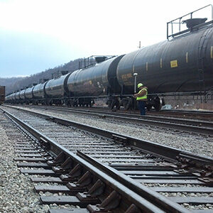
- E-RAILSAFE Credential
Let’s connect.
There’s an easy way to see how we can help. Let’s Talk about it.


